- Inicio
- A Geotrilho
- Soluções
For end-users
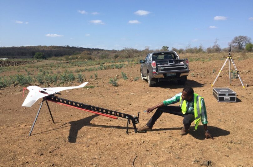
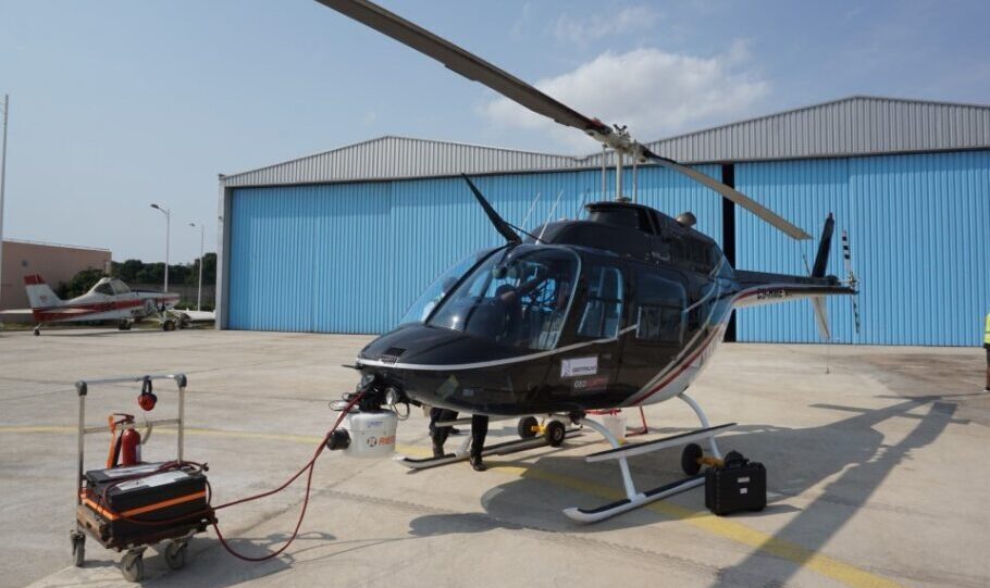
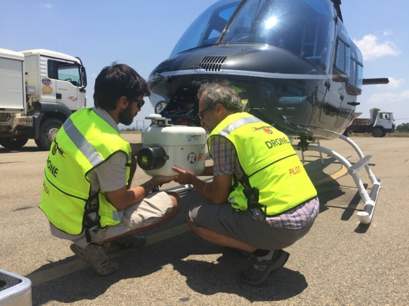
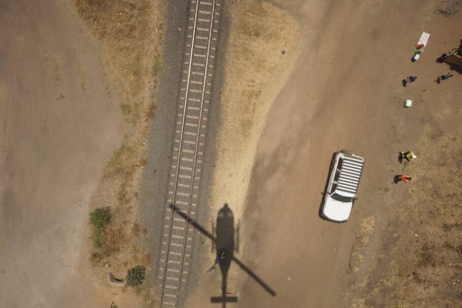
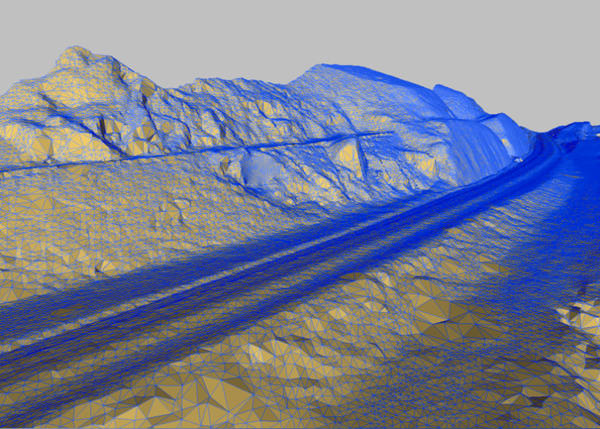
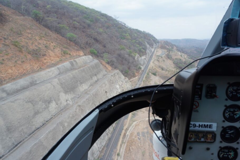
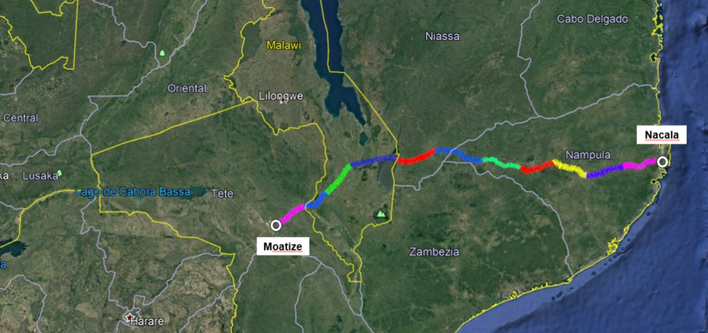
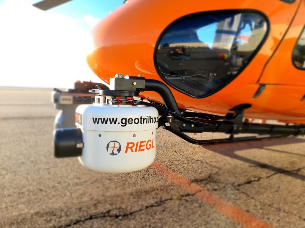
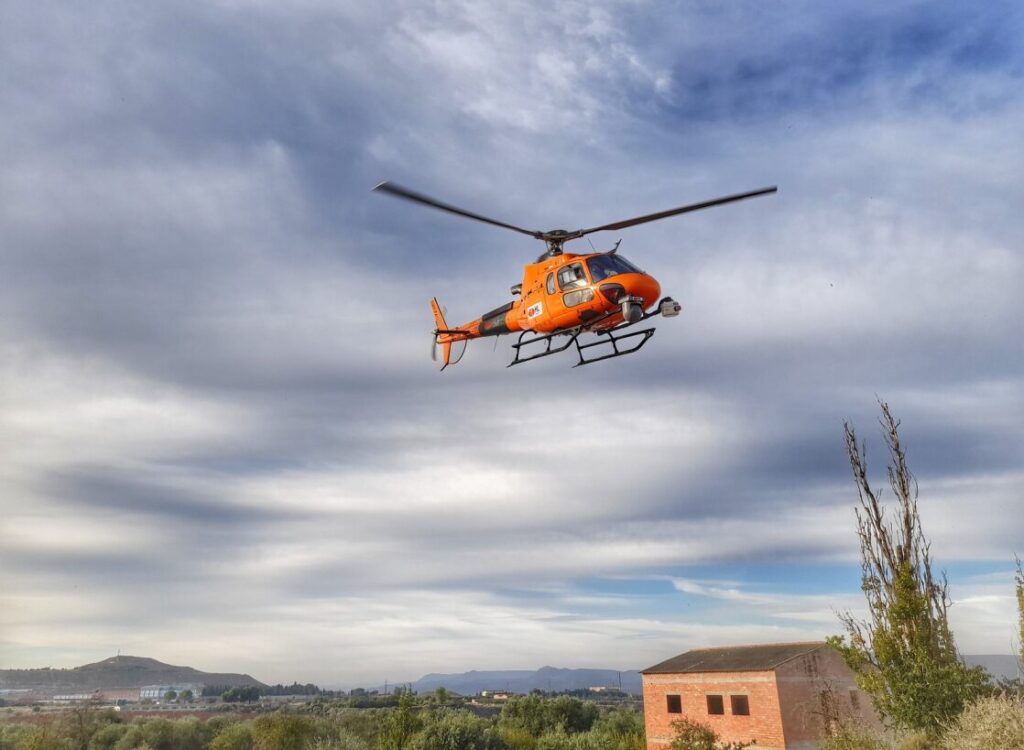
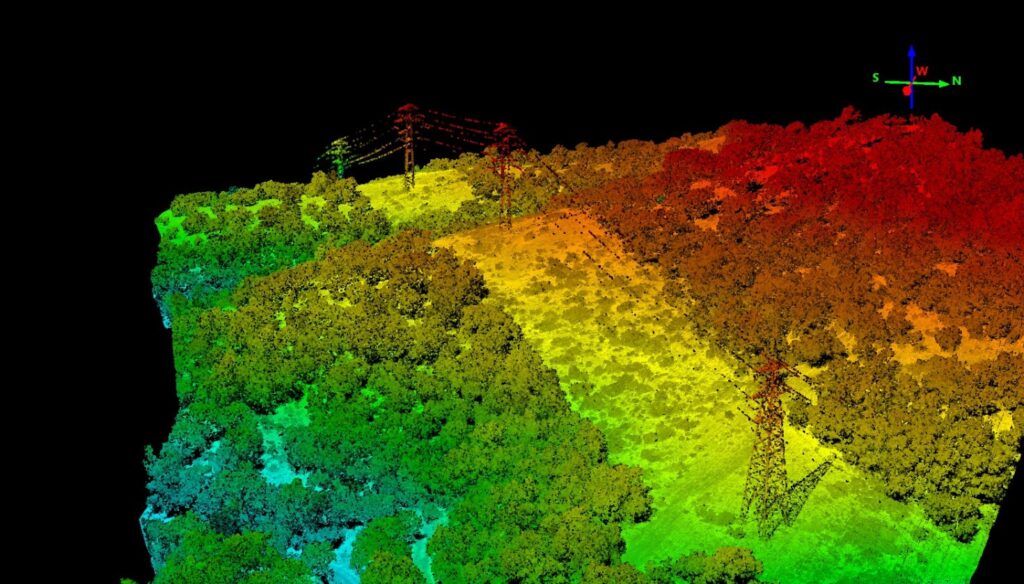
- Airborne LiDAR
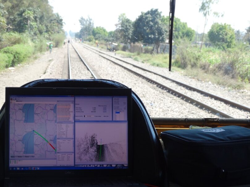
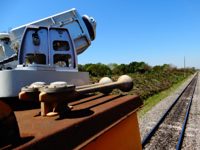
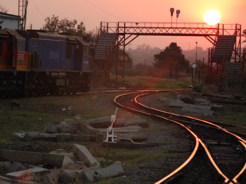
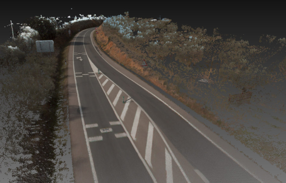
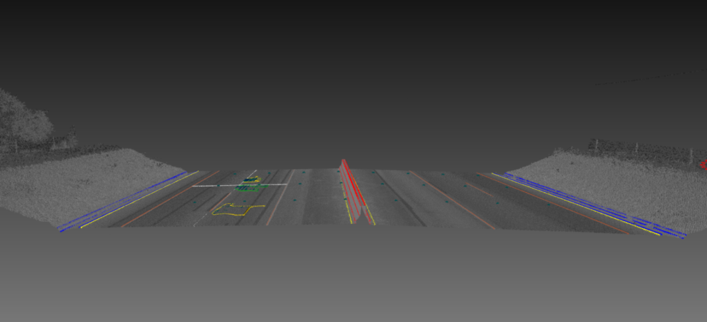
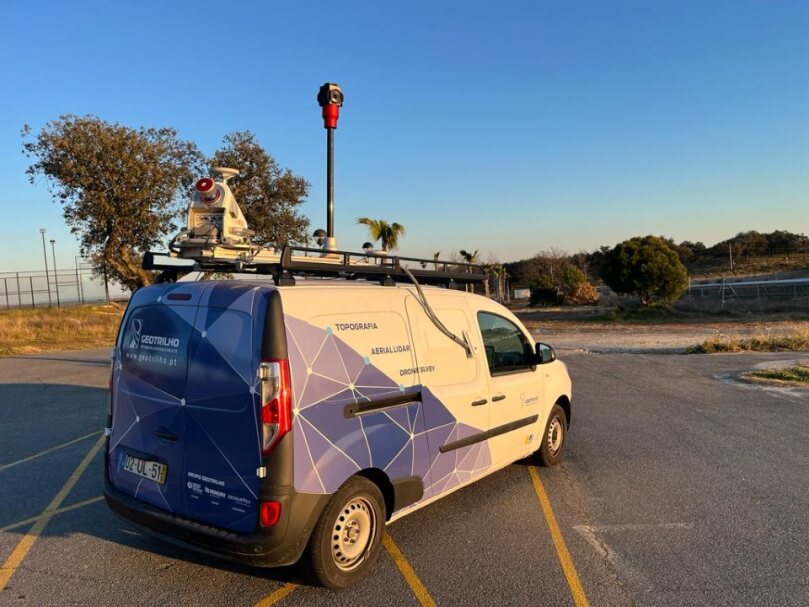
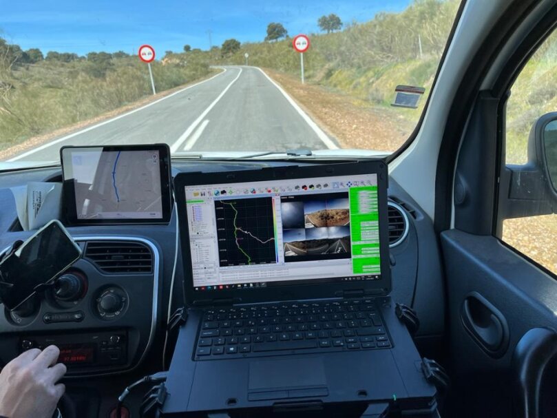
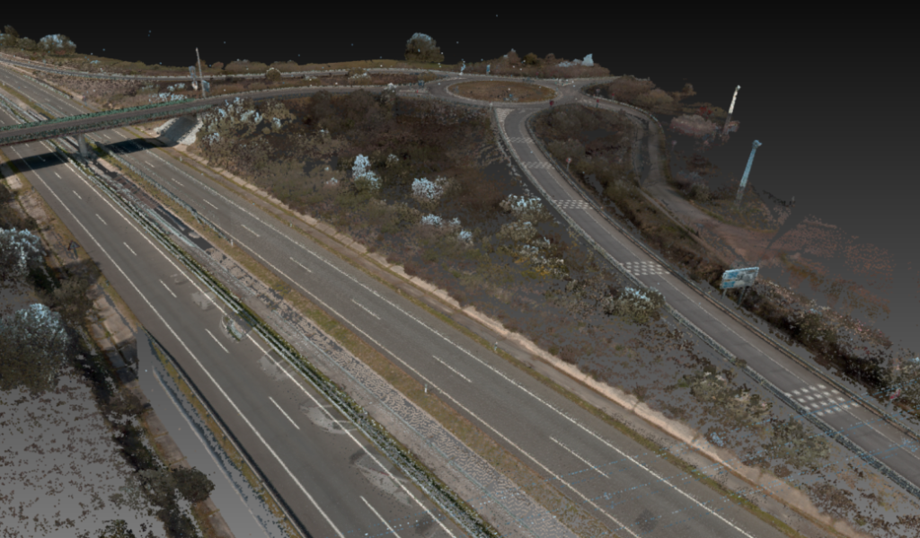
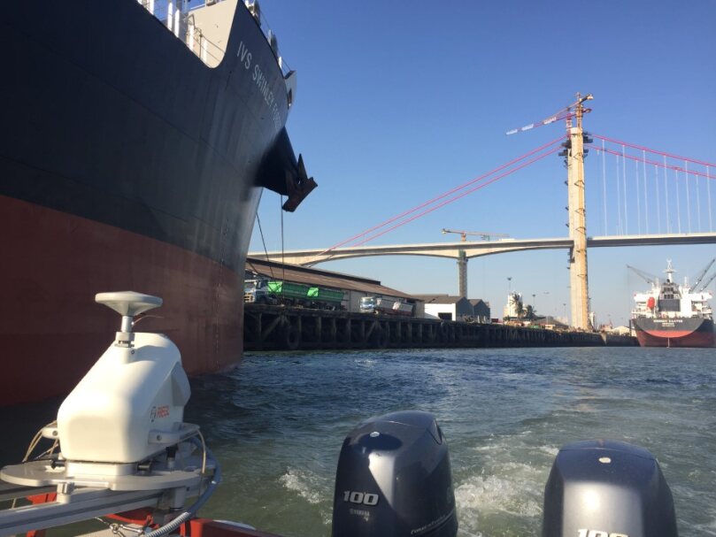
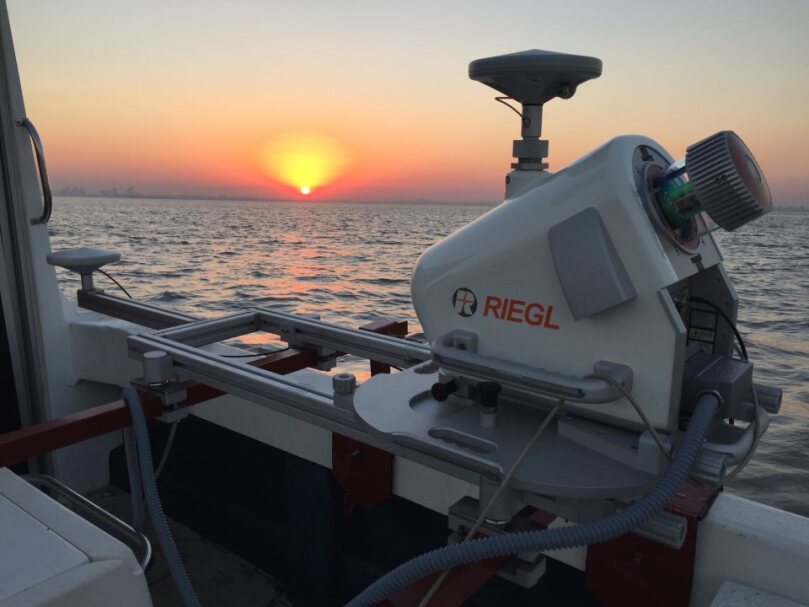
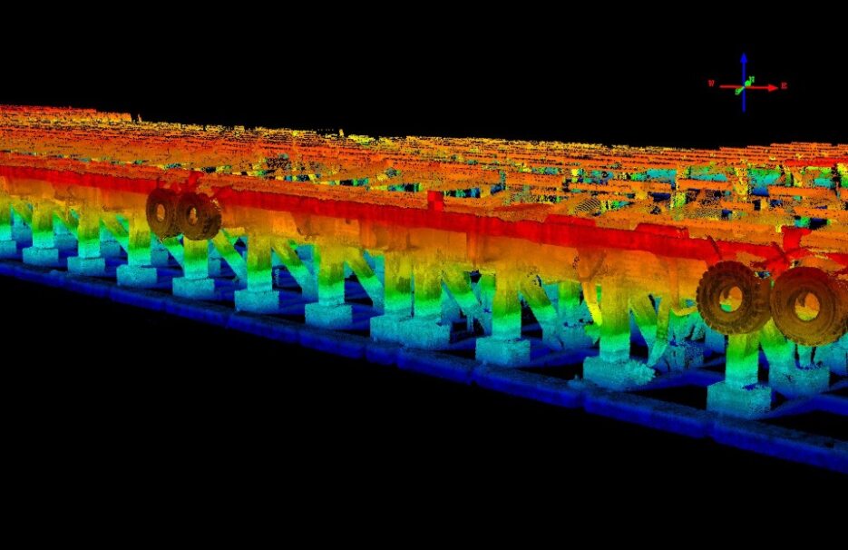
- Mobile Laser Scanning
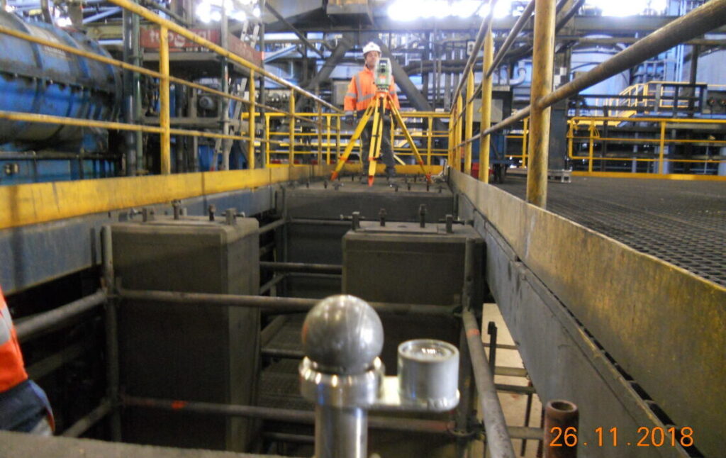
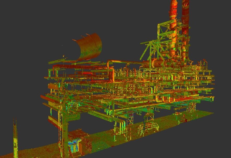
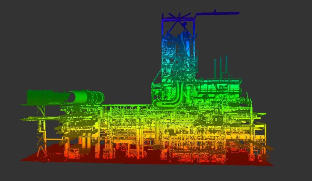
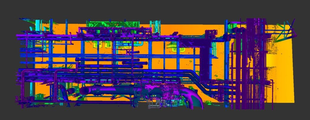
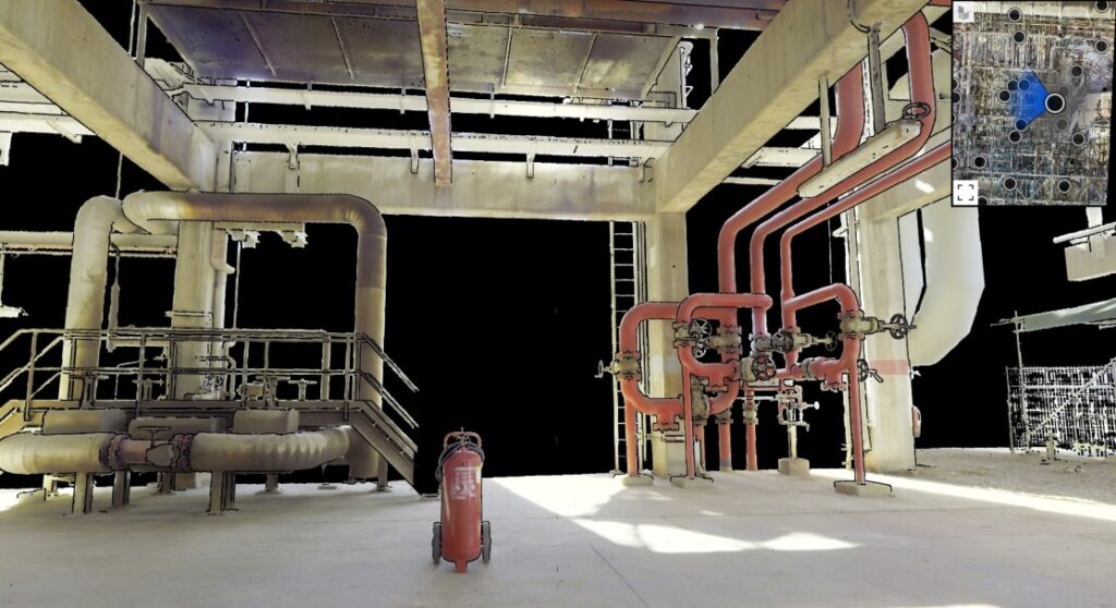
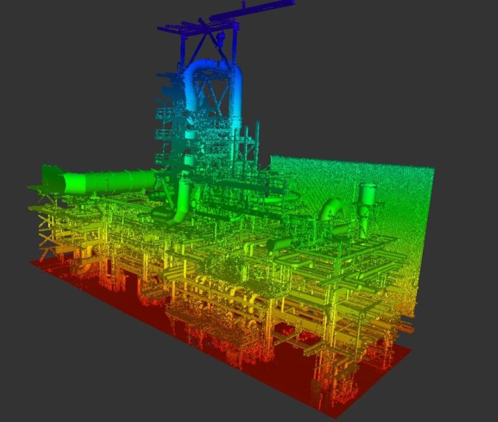
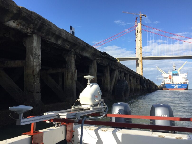
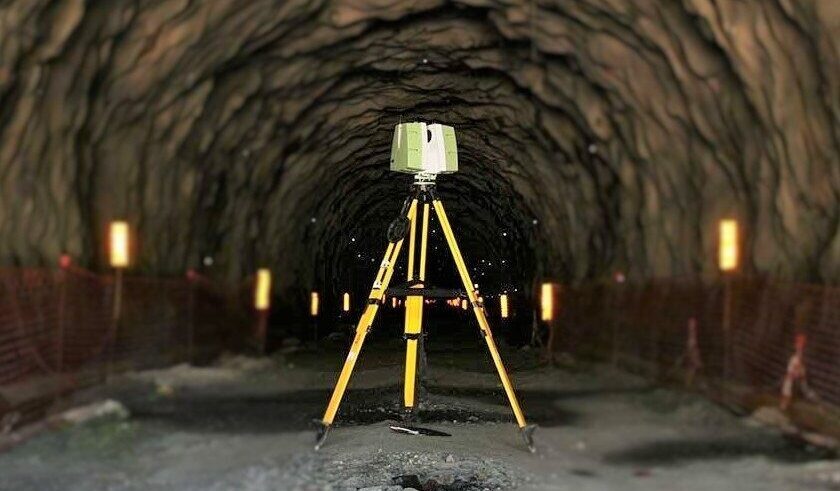
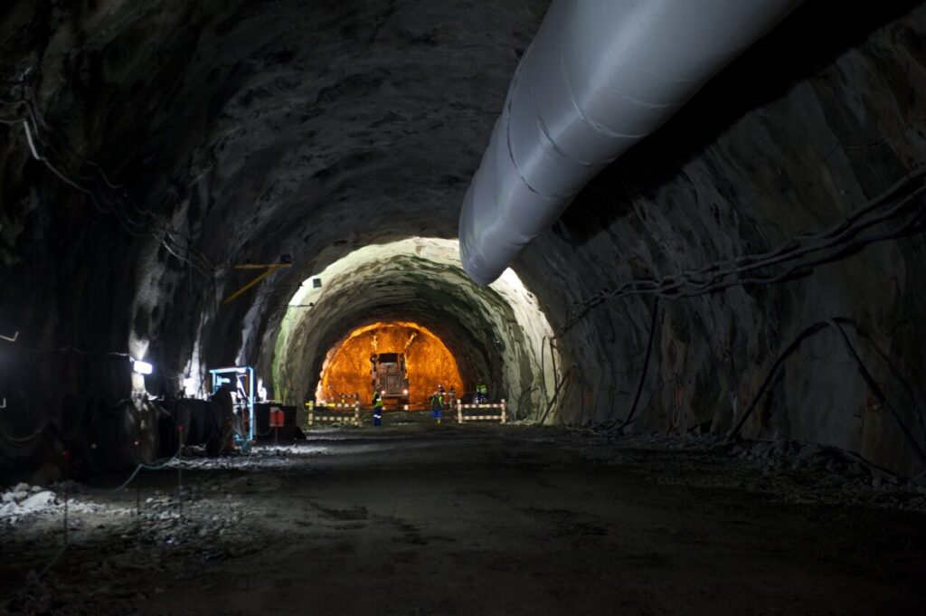
- Terrestrial Laser Scanning
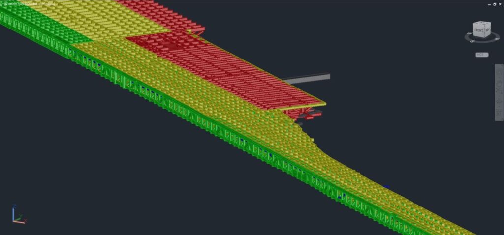
- Digitalização CAD
- Modelação 3D
- Inventário de Ativos
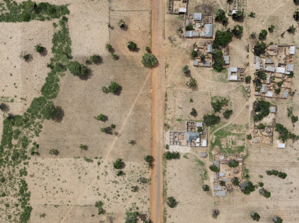
- Fotogrametria
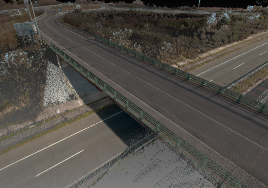
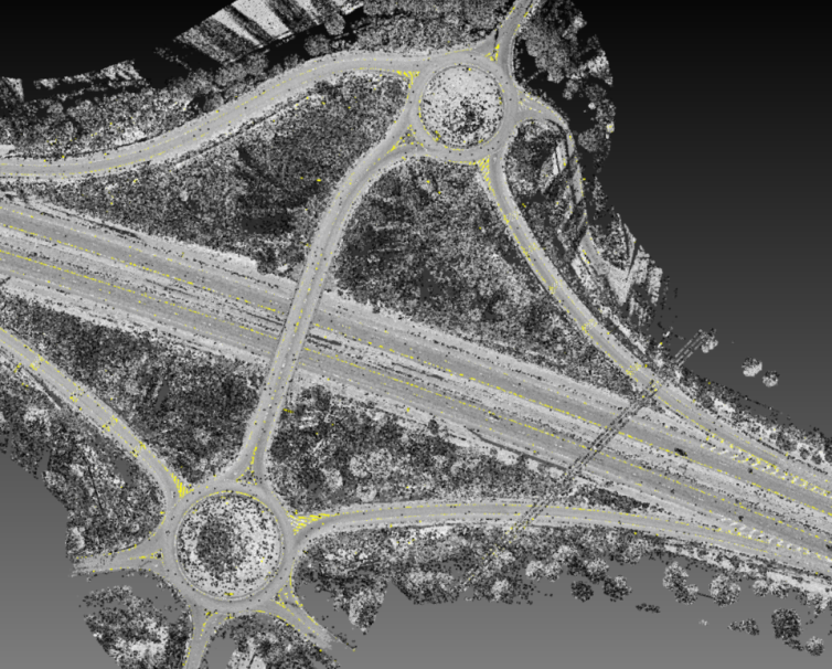
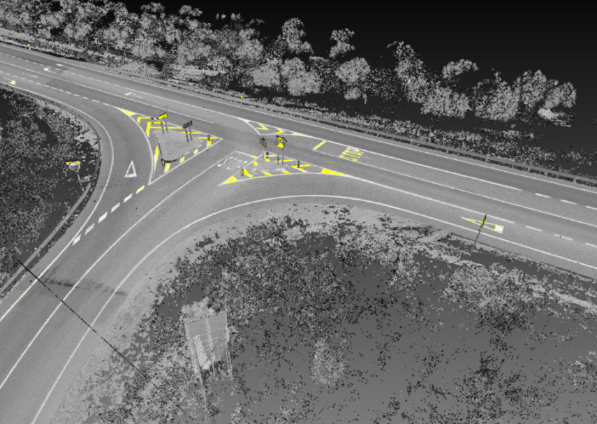
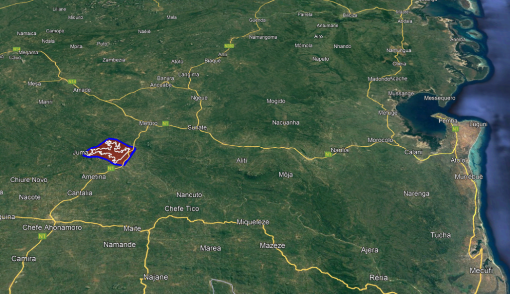
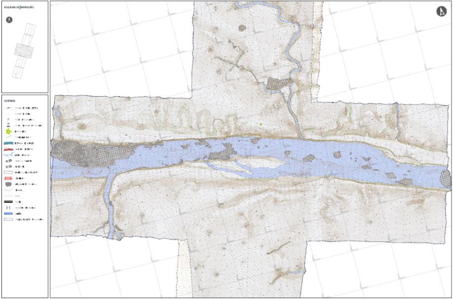
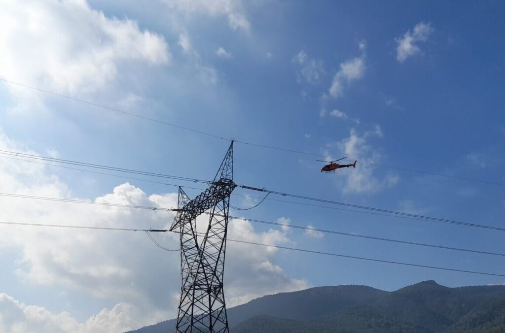
- Corridor Mapping
- Inspeções c/ Drone
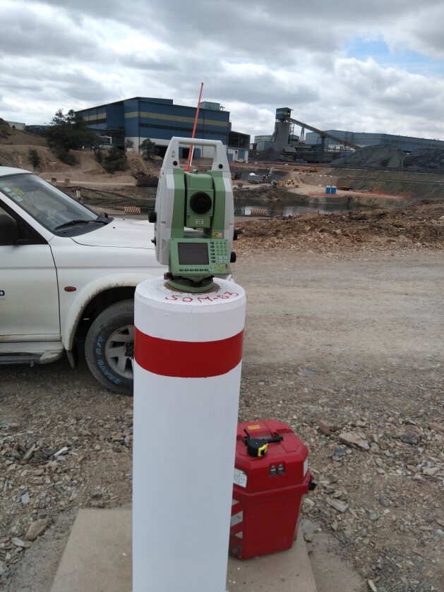
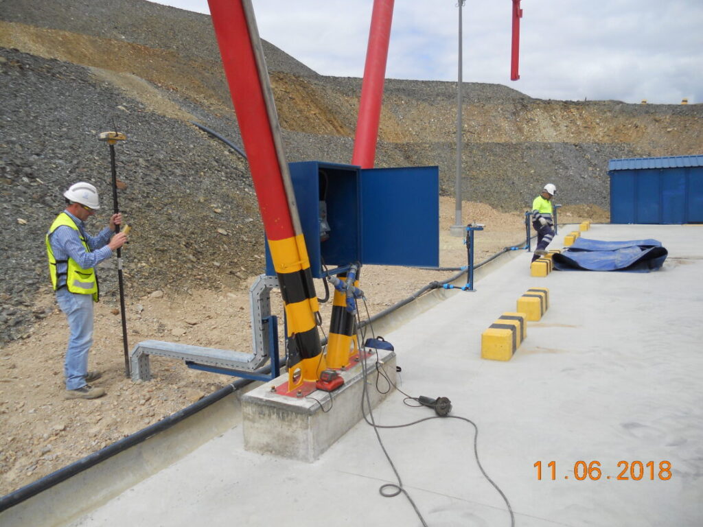
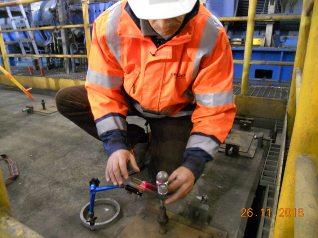
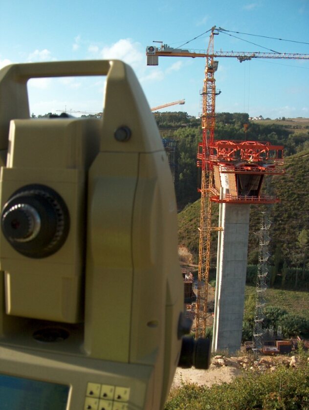
- Levantamentos Topográficos
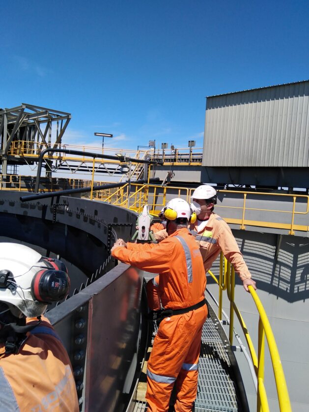
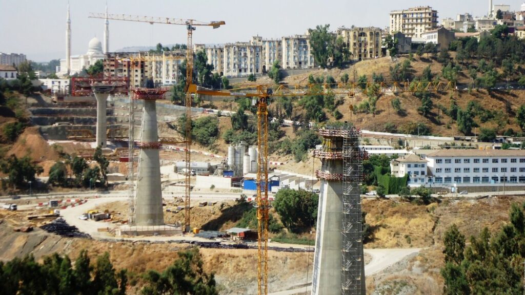
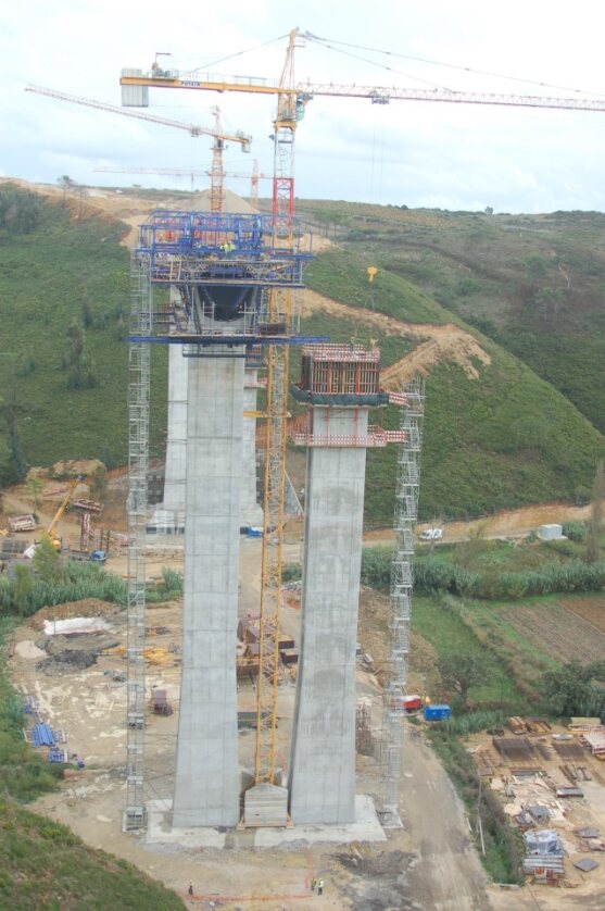
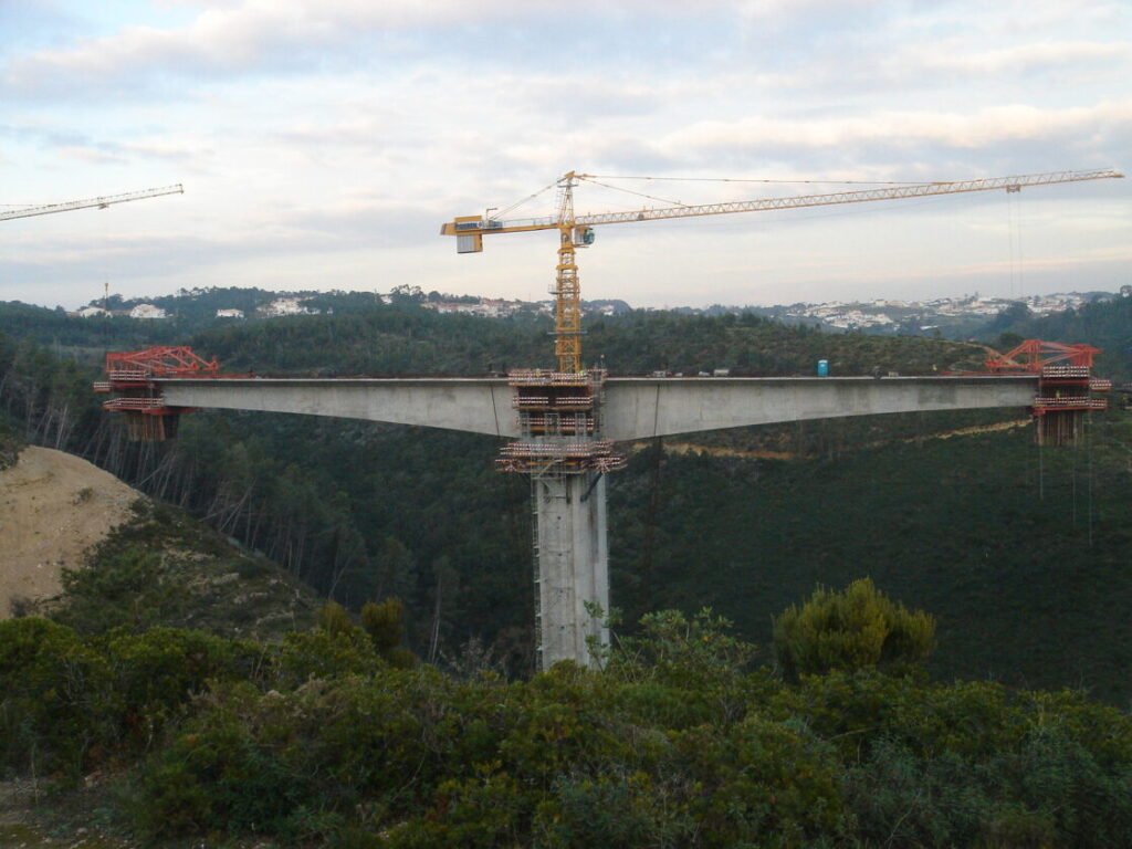
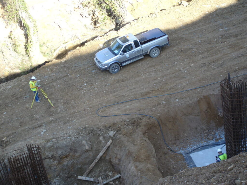
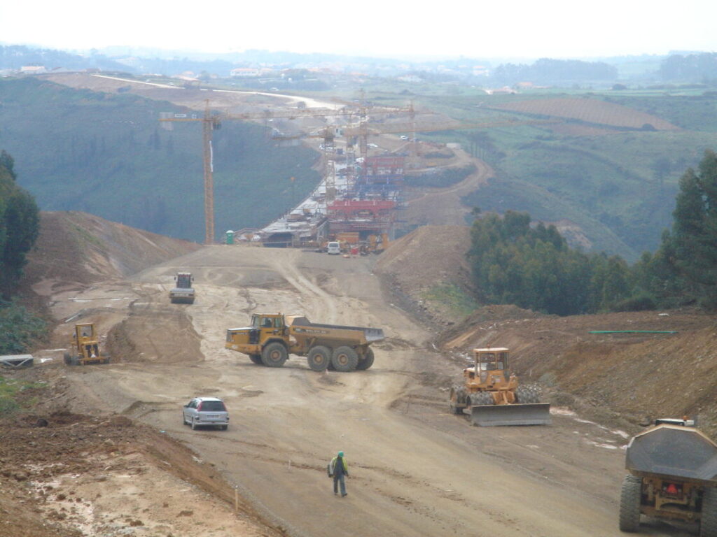
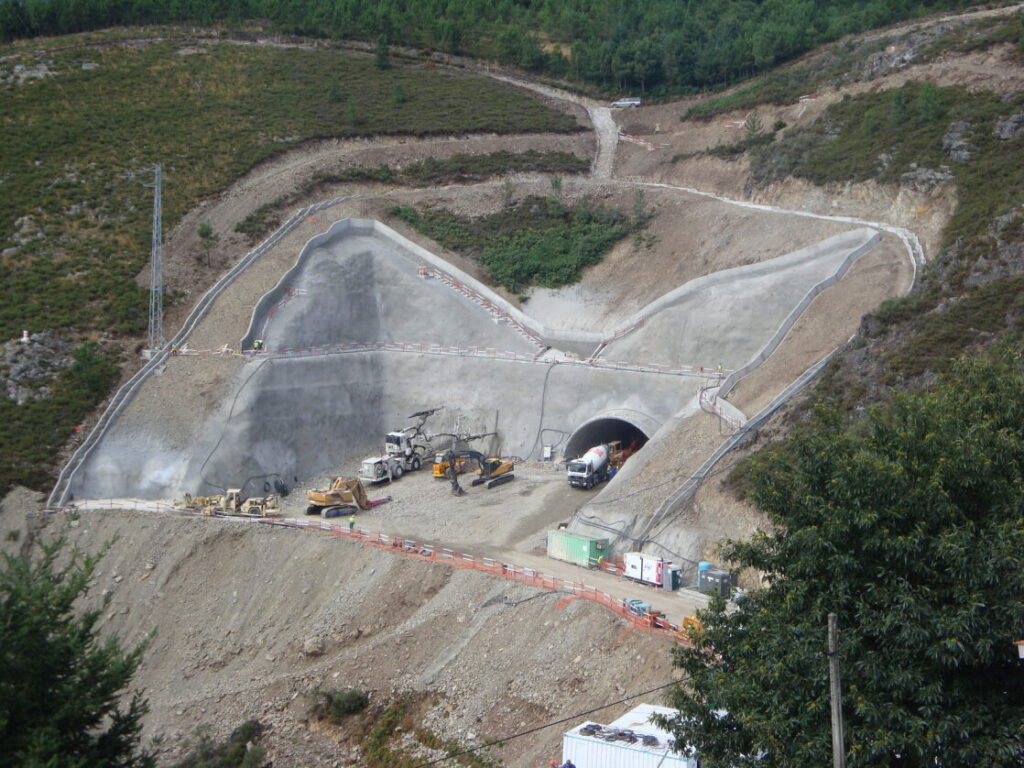
- Acompanhamento de Obra
- Serviços de Engenharia
For B2B
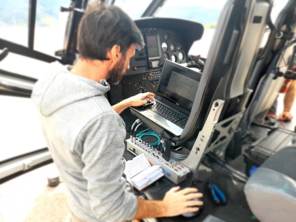
- Data Capture
- Data Processing
- Indústrias
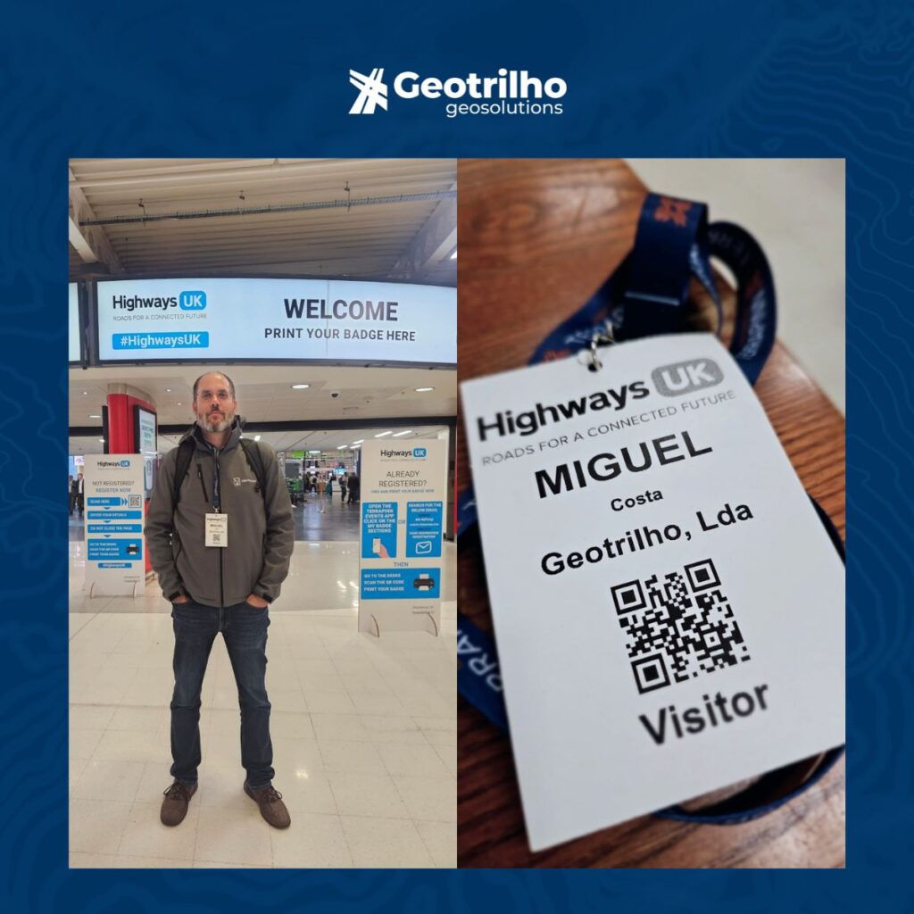
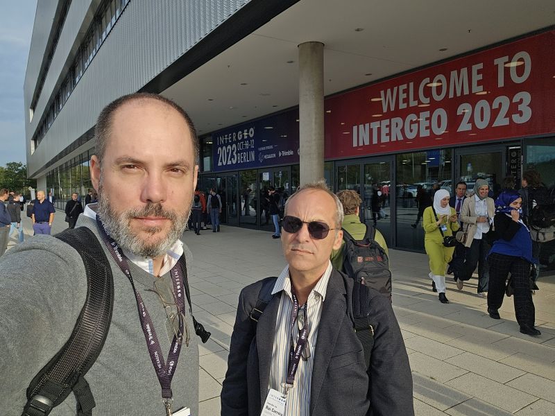
- Contacto
Edit Content
Email (assuntos gerais):
geral@geotrilho.pt
Email (assuntos comerciais):
sales@geotrilho.pt
Telefone: (+351) 212 071 541